
Land Surveying
Boundary and property surveys, DGPS/GNSS, total station surveys, topographic mapping, contours and digital plans.
Explore Service →Explore our complete range of land, mine, quarry, solar, drone, DGPS, topographic, CAD and industrial survey solutions.
Boundary and property surveys, DGPS/GNSS, total station surveys, topographic mapping, contours and digital plans.
Explore Service →
Open-pit mine mapping, excavation and bench measurements, terrain models, stockpile volumes and survey documentation.
Explore Service →
Quarry boundaries, crusher yards, excavation monitoring, stockpile measurement and volume reporting.
Explore Service →
Solar farm land measurement, topographic surveys, contours, layout setting-out and grading support.
Explore Service →
RTK drone mapping, orthomosaics, elevation models and site progress mapping.
Explore Service →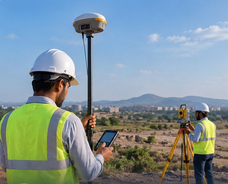
Control networks, coordinates, precision site measurements and setting-out surveys.
Explore Service →
Terrain elevation surveys, contour drawings, digital terrain models and cut-and-fill estimates.
Explore Service →
Alignment, corridor, industrial land, construction setting-out and development surveys.
Explore Service →
Spatial maps, CAD drafting, 3D surface models and digital survey documentation.
Explore Service →Stockpile quantities, excavation volumes, earthwork estimates and progress comparisons.
Explore Service →Share your project location, approximate area and the type of survey you require.